National Network Phasing
It will take a phased approach to build out a 17,000-mile high-speed rail network in America. Explore the four phases of America's largest national building project since the construction of the Interstate Highway System.
About the USHSR Map
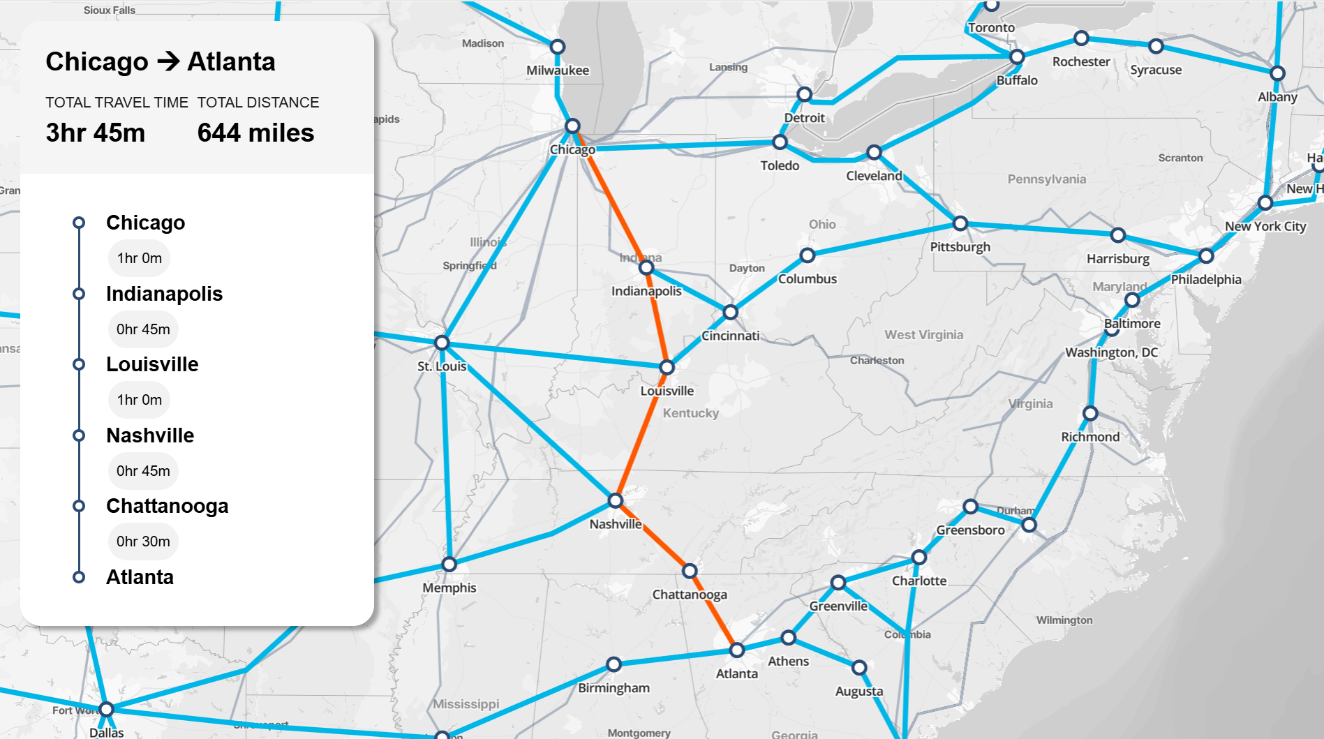
The map’s purpose is to show what the future can look like for America with a national high-speed rail network. It visualizes a 21st century, 17,000-mile national high speed rail system built in four phases.
This new national system will revitalize our economy, reactivate our manufacturing sector, create millions of jobs, reduce America's foreign oil dependency, curb airport and highway congestion, create access to vast areas of affordable housing, and significantly cut our carbon footprint. Powered by electricity, this system provides sustainable, affordable, safe mobility for all.
The map phasing follows the most logical sequence for a national system build out - starting with the largest cities in the busiest corridors and megaregions (where the need is the greatest), then growing to connect additional cities until it reaches the entire country – forming one large connected network (much like our interstate highway system).
Yes, this map is a vision for our future, and there are always options to make changes over time as conditions change, economic opportunities open up, or certain projects advance earlier.
The interstate highway system, which now stands at 47,000 miles total, is seamlessly connected into a much larger network of state-owned routes that provide the broader regional connections into the interstate system. There are over 300,000 miles of state-owned routes and highways today. These state routes seamlessly connect regions into the interstate highway network while allowing for driving at a wider range of speeds and intersections, unlike the interstates.
Similarly, we assume the need for a similar hierarchy in America's future passenger rail network. High-speed rail lines designed to allow for speeds of 186 mph and faster will play the role of the interstate highways while an even more extensive network designed for speeds of 125 mph will connect regions across the country directly into the high-speed network, ensuring that at least 90% of Americans will have easy access to high-speed rail.
While this map shows the current Amtrak network in the background, it does not remotely convey the scale and vast coverage of the total passenger rail network we envision.
%20(1).avif)